Lecture 2 from Laser Scanning and Point Cloud Processing. Also related to ALS.
Scanner Types
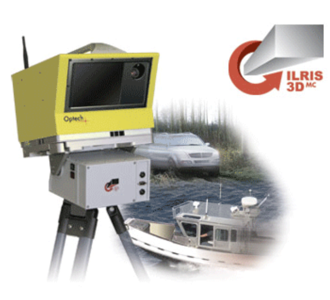
- Window scanner
- FOV similar to conventional area camera
- Needs multiple scans to cover 360 degrees
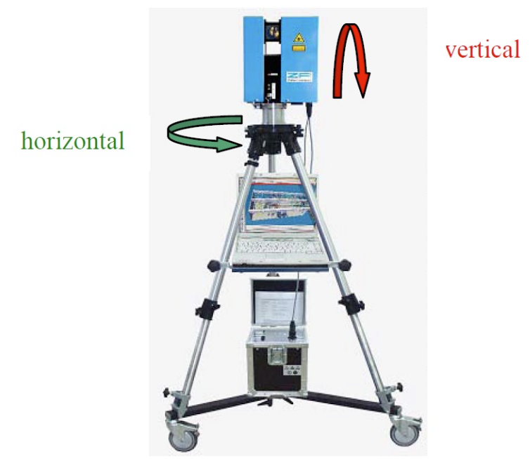
- Panoramic scanner
- Rotation around vertical and horizontal axis
Properties of TLS/MLS
- Eye-safety
- Power Consumption
- Range, Weight
- Occlusions, Point Density
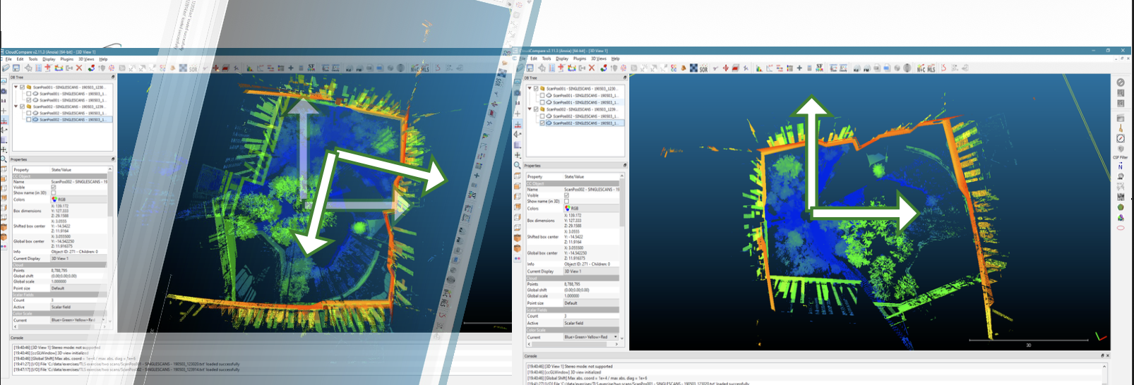
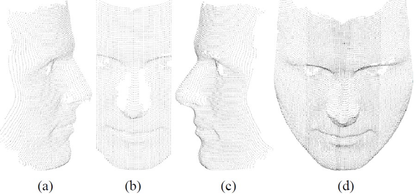
- To avoid these two shortcomings, we acquire multiple scans from different POVs.
- Scanner Settings
- One or two scanners
- coverage, orientation of scanning plane
- Relative Orientation Registration
- Absolute Orientation Georeferencing
- Single or multiple scans
RELATIVE ORIENTATION, REGISTRATION
Relative Orientation i.e. Registration
- Relative Orientation (Registration): This involves aligning scans using at least three corresponding points (Rotation & Translation)
- Targeting: Registration can be achieved using artificial targets like spheres or retro-reflective markers.
- Algorithms: The ICP algorithm is highlighted as a method to minimize the distance between point sets without the absolute need for physical targets.
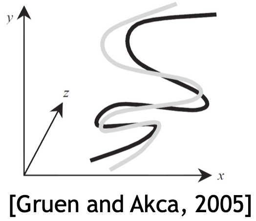
The ICP is looking to find the parameters for estimating the rotation and translation from one scan to another (remember, we want the same point in at least 3 different POVs).
More engineer-like formulation: iterative minimization of sum of squares of Euclidean distances between nearest transformed point from main and sub data (because we have main and sub scans).
Feature-Based Registration
- Good for coarse alignment of scans
- Comparison of fewer pairs than if working in point cloud directly
- It also leads to a pruned (reduced) search tree
- Fewer feature points are required to fix the DOF of the transformation
ABSOLUTE ORIENTATION, GEOREFERENCING
Absolute Orientation i.e. Georeferencing
This process places the data into an absolute coordinate system, often using GPS or surveyed control points.
It also involves relative adjustment of sub scans to the main georeferenced scan.
Attention at error propagation!
Some applications include:
- Cultural Heritage Documentation
- Building/Façade Reconstruction
- Tree Detection and Modeling
- Landslide Activity, Displacements
- Mapping of Caves.
Complete with information from the referenced books/sources.